


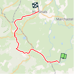

15.4 km | 19.6 km-effort


User


FREE GPS app for hiking
 SityTrail
IGN / Geographical institutes
SityTrail World
The world is yours!
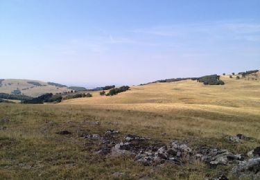
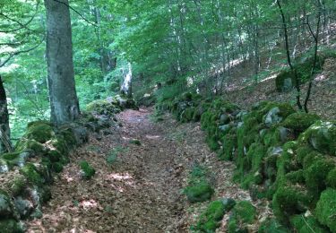
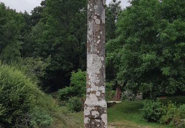
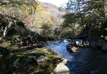
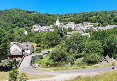
Trail Walking of 22 km to be discovered at Occitania, Lozère, Les Salces. This trail is proposed by SERUS.
Les Rajas-Pendouliou de Fabrègues-Croic de la Vaysse-
Aubrac-Nasbinals
Walking
Walking

Walking
Walking
Walking
Walking
Equestrian
Walking